
Getting started
Draw a route or pick places
No GPS file? Click your path on the map, add the places you visited, paste coordinates, or turn trip photos into moments.
Draw on map
Draw your path
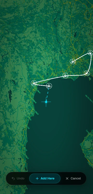
Choose Draw on map when you create a story, or use the moments menu → Draw Route… in the editor. The map switches to drawing mode.
- — Click along the way you went. The line is smoothed as you go
- — It doesn't snap to roads or trails, so add more clicks where the path bends
- — You need at least two points to finish
- — Drawing over an existing route asks before replacing it
Pick places
Add the places you visited
Choose Pick places for a trip between cities or sights, where the exact road matters less than the stops. Each place becomes a moment.
- — Search for a place in the map search box, or drop a pin on the map
- — Moments are joined in order. Change how the line is drawn in Style → Route Line: Smooth, Direct or Arc
- — Reorder, rename or remove moments any time from the moments list
Coordinates
Paste coordinates
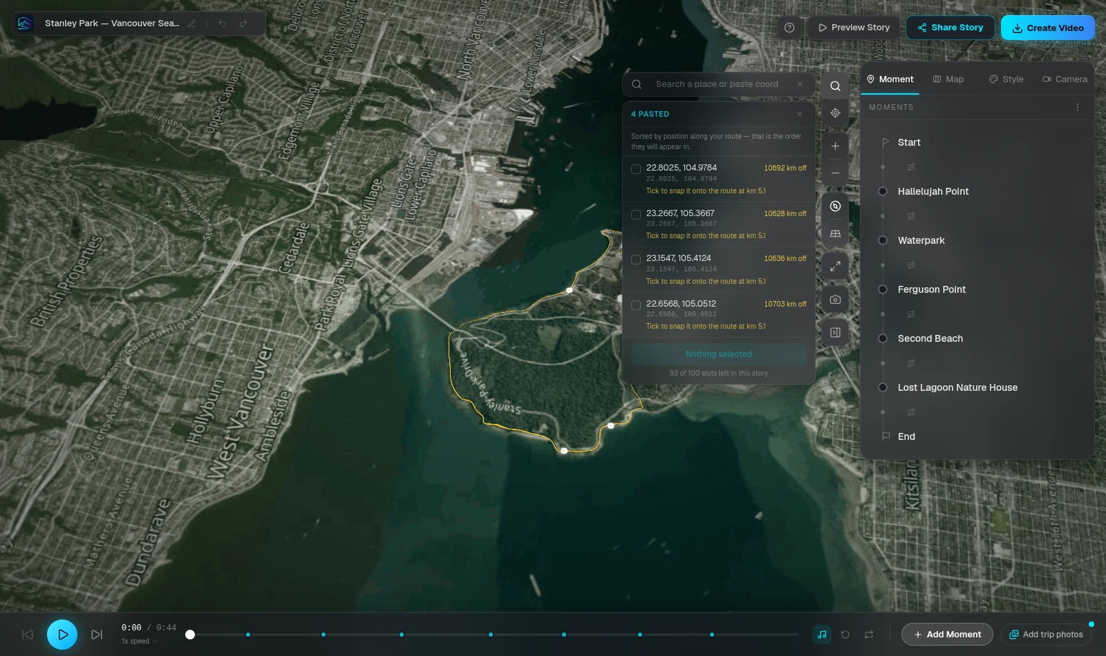
The map search box ("Search a place or paste coordinates") accepts coordinates as well as place names.
- — Decimal (42.0728, 3.0076), with hemispheres (42.07° N, 3.01° E), degrees-minutes-seconds and degrees-decimal-minutes
- — Google Maps, Apple Maps and OpenStreetMap links that carry a position, geo: links and Plus Codes
- — Paste many lines at once, such as a column from a spreadsheet: each line gets its own row to review
- — Rows that are too far from your route, or over your moment limit, arrive unticked so you decide
- — On a GPS route, new moments slot in by their position along the track; otherwise they're added at the end
Trip photos
Turn trip photos into moments
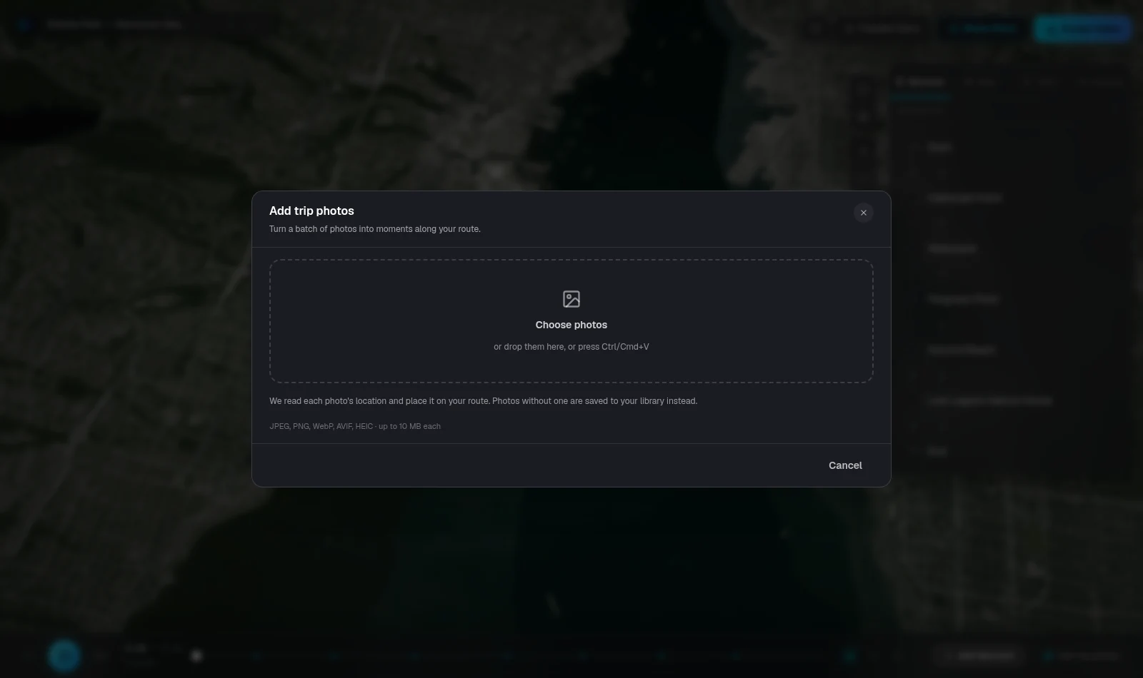
Use the moments menu → Add trip photos… to pick a batch of photos. RouteTale reads the location saved in each photo and places them as moments along your route.
- — Photos need location data. Photos taken with location turned off can't be placed
- — Photos count toward your plan's media limit. The dialog shows how many will be uploaded
- — Photos can be JPEG, PNG, WebP, AVIF or HEIC, up to 10 MB each. You can also paste them with Ctrl/Cmd+V
- — No route yet? The photos are saved to your story's media library
Ready to tell your story?
Turn your GPS track into an interactive, cinematic 3D map in just a few clicks.
Start your first story