Look
Map styles and atmosphere
The 11 built-in map styles, Custom Map, and every setting in the Map tab: color look, atmosphere, weather, letterbox and terrain.
Map styles
Pick a map style
Open the Map tab and choose a style. Satellite shows real imagery. The eight color looks restyle the map in a single mood, and City and Terrain are detailed street and topographic maps.
- — Satellite: real aerial imagery, best with 3D terrain for mountains and coastlines
- — Color looks: Crystal, Neon, Midnight, Jade, Ember, Plum, Abyss and Slate
- — City: streets and place names. Terrain: contour-style outdoor map
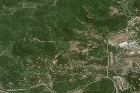
Satellite
Real imagery
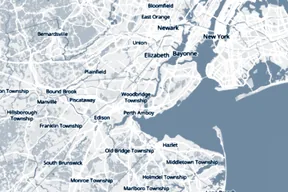
Crystal
Color look
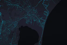
Neon
Color look
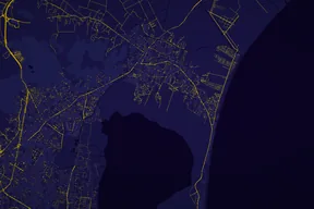
Midnight
Color look
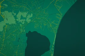
Jade
Color look
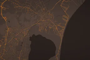
Ember
Color look
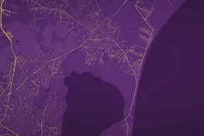
Plum
Color look
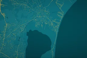
Abyss
Color look
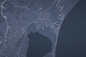
Slate
Color look
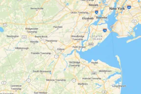
City
Street map
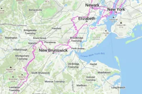
Terrain
Topographic
Plus
Custom Map: use your own map image
Replace the map with your own picture: a hand-drawn map, a trail board, a page from a guidebook.
- — Upload a PNG, JPG or PDF, then crop it
- — Draw your route and add moments on the image. GPS files and Google Maps links can't be placed on a custom image
- — The camera stays aligned with the top of your image. Change it in Camera → Facing
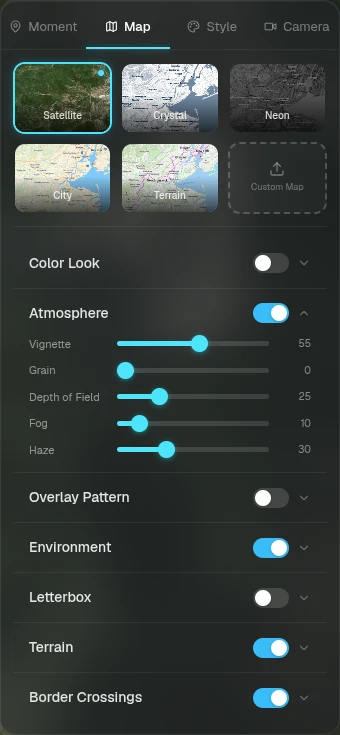
Map tab
Color look and atmosphere
Fine-tune the image in the sections below the styles.
- — Color Look: brightness, contrast, saturation, hue and gamma, plus filter, shadow and highlight colors
- — Atmosphere: vignette, grain, depth of field, fog and haze
- — Overlay Pattern: a grid, dot matrix or crosshatch texture over the map
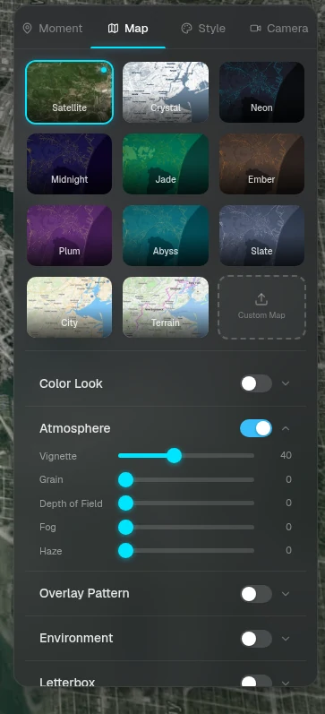
Map tab
Weather, letterbox and terrain
Set the scene around the route.
- — Environment: clouds, snow and rain
- — Letterbox: cinematic 1.85:1 or 2.39:1 bars
- — Terrain: 3D relief at Natural, Dramatic or Cinematic height, and an option to hide the route, markers and cards behind mountains
- — Border Crossings: turn the highlight for each country crossing along your route on or off
Ready to tell your story?
Turn your GPS track into an interactive, cinematic 3D map in just a few clicks.
Start your first story